

Delhi Minister Gopal Rai Launches Drone Mapping in Wazirpur to Identify Pollution Sources
Delhi Environment Minister Gopal Rai visits Wazirpur industrial area to launch drone mapping technology, aiming to identify pollution sources at hotspots in the city.
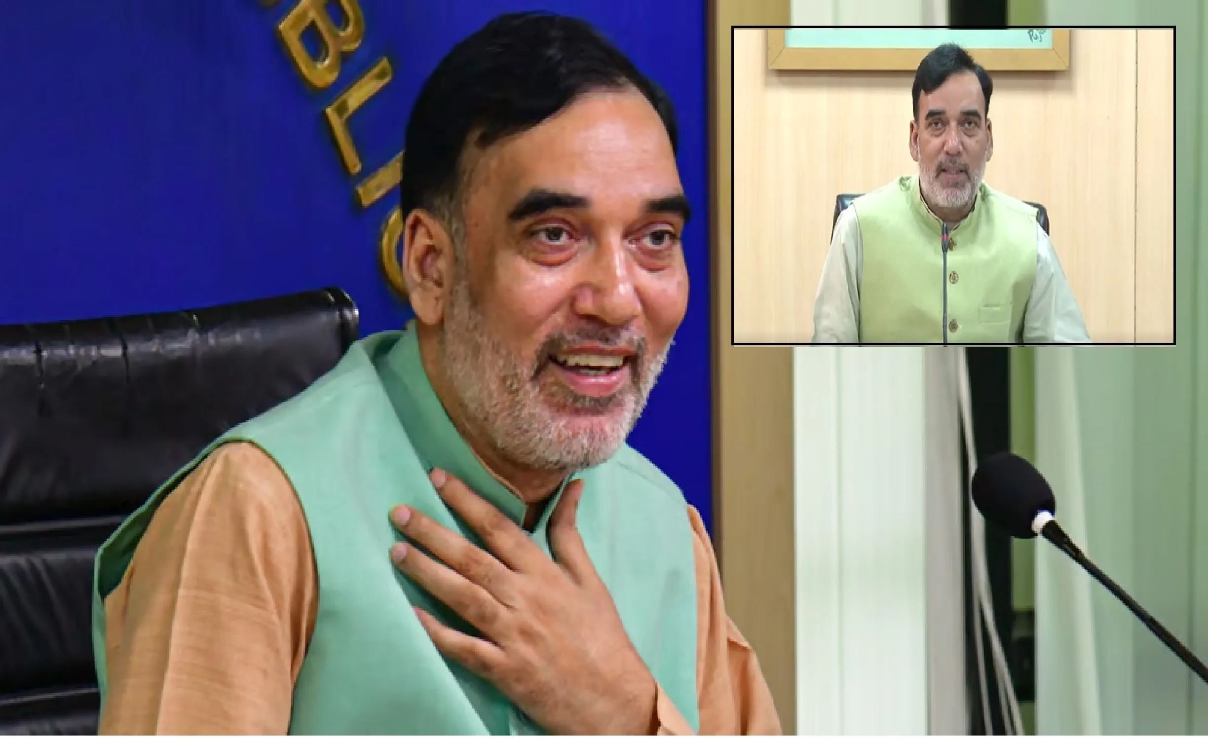

In a bid to combat rising pollution levels and take a proactive approach toward improving air quality, Delhi’s Environment Minister Gopal Rai visited the Wazirpur industrial area on October 23, 2024, to launch an innovative drone mapping project. The initiative is designed to identify specific pollution sources in the city’s industrial hotspots, marking a new phase in Delhi’s environmental management efforts. This project represents a significant step forward in using technology for pollution control, aligning with the city’s mission to create a healthier environment for residents.
Drone Mapping: A Game-Changer for Pollution Monitoring
The drone mapping project, inaugurated by Minister Rai, is a high-tech approach aimed at pinpointing pollution sources in real-time across industrial zones. By deploying drones, the Delhi government intends to capture detailed aerial images of pollution-heavy areas, collecting data that will help authorities track the exact sources of emissions. The Wazirpur industrial area, a well-known pollution hotspot, is one of several target locations for the initiative. The drones used in the project are equipped with advanced sensors capable of detecting particulate matter and other pollutants, offering a comprehensive view of pollution patterns.
According to Minister Rai, the drone mapping technology will enable more efficient monitoring and faster identification of polluting units. He emphasized that this approach not only increases the accuracy of monitoring but also reduces dependency on manual inspections, which are time-consuming and often limited in scope. “With drone mapping, we can get an extensive view of pollution sources, allowing us to respond more effectively to address air quality issues,” he explained during the project launch.
Addressing Pollution at Its Roots
Delhi has been grappling with severe air pollution for years, particularly during winter months when the city’s air quality often deteriorates to hazardous levels. While vehicular emissions and construction dust have been frequently cited as contributors to pollution, industrial emissions in regions like Wazirpur also play a substantial role. Recognizing this, the Delhi government has ramped up efforts to tackle pollution in industrial hotspots by identifying and addressing polluting units directly.
The drone mapping project is part of a larger strategy to reduce pollution at its source rather than merely reacting to poor air quality. By obtaining accurate, real-time data, the government aims to hold industrial units accountable for emissions violations and encourage cleaner practices. Minister Rai noted that the project is aligned with the city’s ‘Green Delhi’ initiative, which seeks to incorporate sustainable solutions for a pollution-free future.
Benefits of Using Drone Technology for Environmental Monitoring
The introduction of drones in environmental monitoring is a forward-thinking measure that comes with multiple benefits. Unlike traditional methods, which often require physical inspections and data collection over extended periods, drones can cover large areas within a short time frame. They are able to reach areas that are difficult or dangerous for personnel to access, ensuring comprehensive coverage of the industrial landscape.
Moreover, drones equipped with thermal and infrared sensors can detect pollutants invisible to the naked eye, such as particulate matter (PM2.5 and PM10) and certain gases. These sensors enable authorities to identify high-pollution zones and determine the exact levels of emissions from different sources. In the case of Wazirpur, this means that any unit exceeding permissible emission levels can be quickly identified and flagged for action.
Drone mapping also provides a valuable database of pollution trends over time, enabling policymakers to make data-driven decisions. Minister Rai highlighted the importance of data transparency, stating that the government would share these findings with the public to increase awareness and promote community involvement in pollution control efforts.
Wazirpur: A Case Study in Pollution Control
Wazirpur, one of Delhi’s busiest industrial hubs, has long been a focus area for pollution control due to its high density of factories, including units dealing with metal processing and manufacturing. These industries release a range of pollutants that contribute to the city’s poor air quality. The drone mapping project aims to turn Wazirpur into a case study for how technological interventions can help in monitoring and mitigating industrial pollution.
By obtaining granular data on pollution sources in Wazirpur, the government hopes to devise targeted interventions that can be replicated in other industrial regions of Delhi. The success of this initiative may lead to the expansion of drone mapping to other areas, such as Okhla and Naraina, where pollution from industrial activities remains a concern.
Future Steps and Government Commitment
The drone mapping project represents just one aspect of Delhi’s comprehensive approach to pollution control. Minister Rai emphasized that data gathered from drones would be cross-referenced with reports from other monitoring agencies, including the Delhi Pollution Control Committee (DPCC), to ensure accuracy and consistency. Based on these findings, authorities plan to issue penalties to non-compliant industrial units and implement corrective actions to curb emissions.
Minister Rai also shared plans for additional rounds of drone mapping and a commitment to expanding resources for continuous monitoring. The government’s approach reflects a firm stance on environmental protection, with the goal of establishing a clean-air policy that supports both the city’s residents and businesses willing to comply with environmental standards. The initiative sends a message to polluters that violations will be detected and addressed promptly, underscoring the government’s resolve to create a cleaner Delhi.
Public Response and Growing Environmental Awareness
The launch of the drone mapping project has been met with optimism by environmental groups and concerned citizens. Advocacy groups see this as a positive move toward transparency in pollution monitoring, with many hopeful that the project will encourage stricter enforcement of environmental regulations. Some citizens have expressed interest in being updated about the results of the mapping, a sentiment that highlights the growing awareness around environmental issues.
Environmental activist, Neha Sharma, stated, “It’s encouraging to see the government leveraging technology to address pollution at its root. This initiative brings hope for cleaner air in the long term.” Many believe that with such proactive steps, Delhi can set a precedent for other cities facing similar challenges, showcasing how technology can serve as a powerful ally in the fight against pollution.
A Technological Step Toward Cleaner Air
The launch of drone mapping in Wazirpur marks a significant technological advancement in Delhi’s fight against pollution. By focusing on hotspot areas and using real-time data to track emissions, the government aims to bring tangible improvements in air quality, ultimately benefiting the health and well-being of Delhi’s residents. Minister Gopal Rai’s initiative signals a bold approach to environmental governance and reinforces Delhi’s commitment to sustainable solutions for cleaner air.
As Delhi faces the challenges of urban growth and industrial expansion, the success of initiatives like drone mapping could pave the way for more comprehensive environmental policies across India. With public support and a data-driven approach, Delhi’s leadership hopes to transform the city’s environment, setting a positive example for cities nationwide.