

Map of extreme cold in the US: temperatures across the country in the coming days
Temperatures will drop up to 20°C below normal
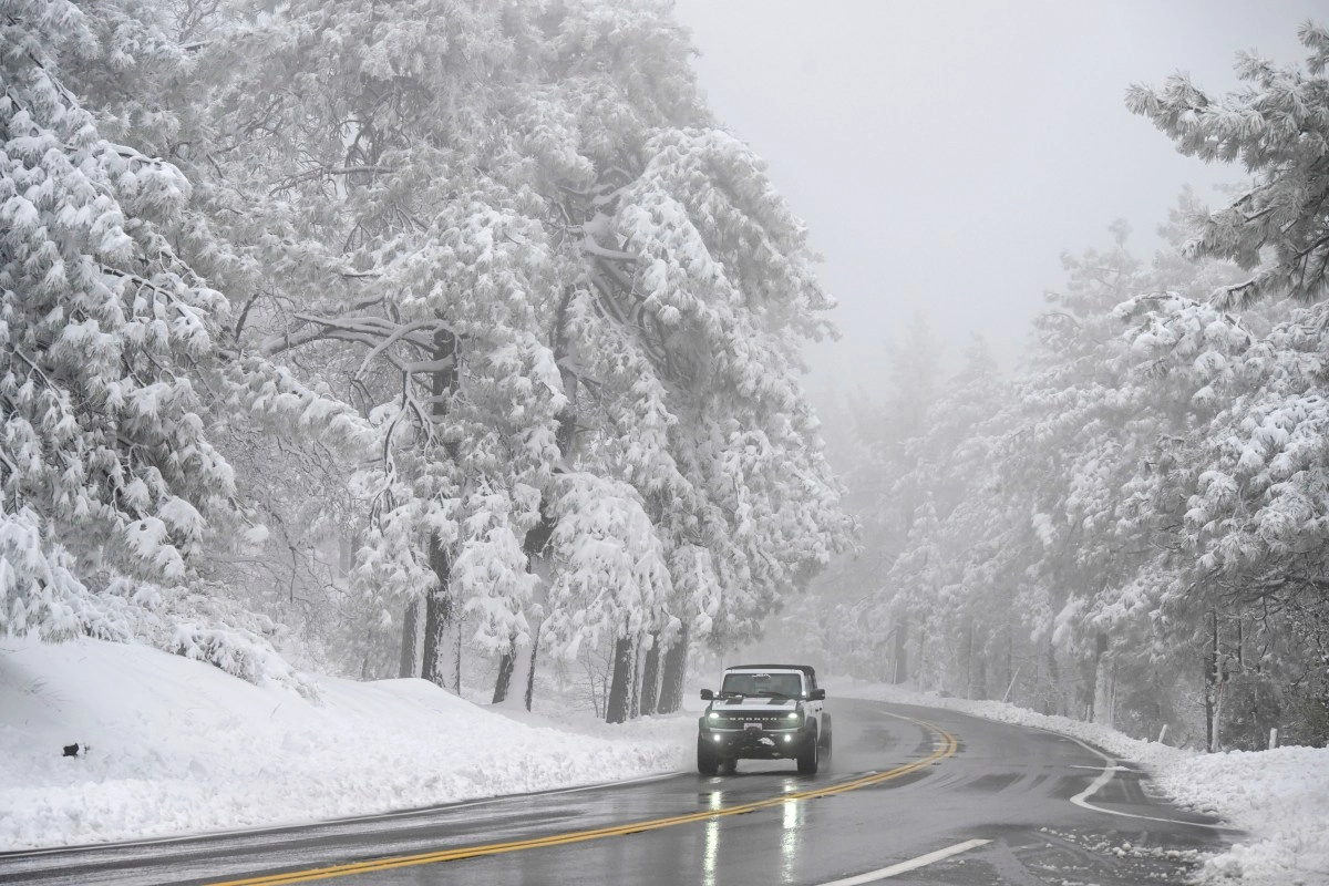

Much of the United States is preparing for one of the most severe temperature drops of the year. Due to an Arctic air mass from Canada moving south and east, temperatures will fall between 10°C and 20°C below normal, according to the National Weather Service (NWS). The most intense effects will be felt between Thursday, November 13, and Sunday, November 16, with frost, wind chill, and snowfall affecting areas from the Great Lakes to the Gulf of Mexico. The most affected regions: According to the National Oceanic and Atmospheric Administration (NOAA), the system will cover more than two-thirds of the country. In some parts of the Midwest and Deep South, temperatures could approach record levels, especially in rural areas and valleys. The NWS also warned that "historic lows could be equaled or exceeded in parts of the Southeast and Florida," where the polar air will be felt with unusual force for November. The frigid front will hit North Dakota, Minnesota, Wisconsin, Michigan, Illinois, Ohio, Kentucky, West Virginia, Oklahoma, Texas, Alabama, Georgia, Tennessee, and northern Florida, according to reports from the Associated Press and Newsweek. In these areas, Arctic air will bring wind chills ranging from -10°C in the Midwest to 0°C in the South, conditions that could affect roads, crops, and electrical systems. Scientific American also warned that this is an early cold snap that could “break temperature records not seen in decades,” while Severe Weather Europe highlighted that in some regions of the central part of the country, temperature anomalies will be up to 30°F (-1°C) or more below the seasonal average. Frost, snow, and gusty winds: The impact is not limited to the thermometer. According to NOAA, states near the Appalachians and the Great Lakes could receive between 10 and 20 centimeters of snow, especially due to the lake effect in areas near Lake Erie, where heavy snow warnings have been issued. According to AP News,Accumulations could hamper traffic and increase the risk of accidents caused by ice on the roads. Gusts will also intensify the wind chill. In cities like Chicago, Cleveland, Atlanta, and Dallas, thermometers will register the lowest temperatures since last winter, while exposure to the wind could make the air feel several degrees cooler than the actual temperature. Duration and Short-Term Forecast: The Climate Prediction Center anticipates that Arctic air will remain over the United States until the middle of next week, when it will begin to move toward the Atlantic. However, the Northeast will likely be the last region to recover to normal temperatures. The central and southern parts of the country, however, will continue to experience freezing nights and sub-zero mornings throughout the weekend.